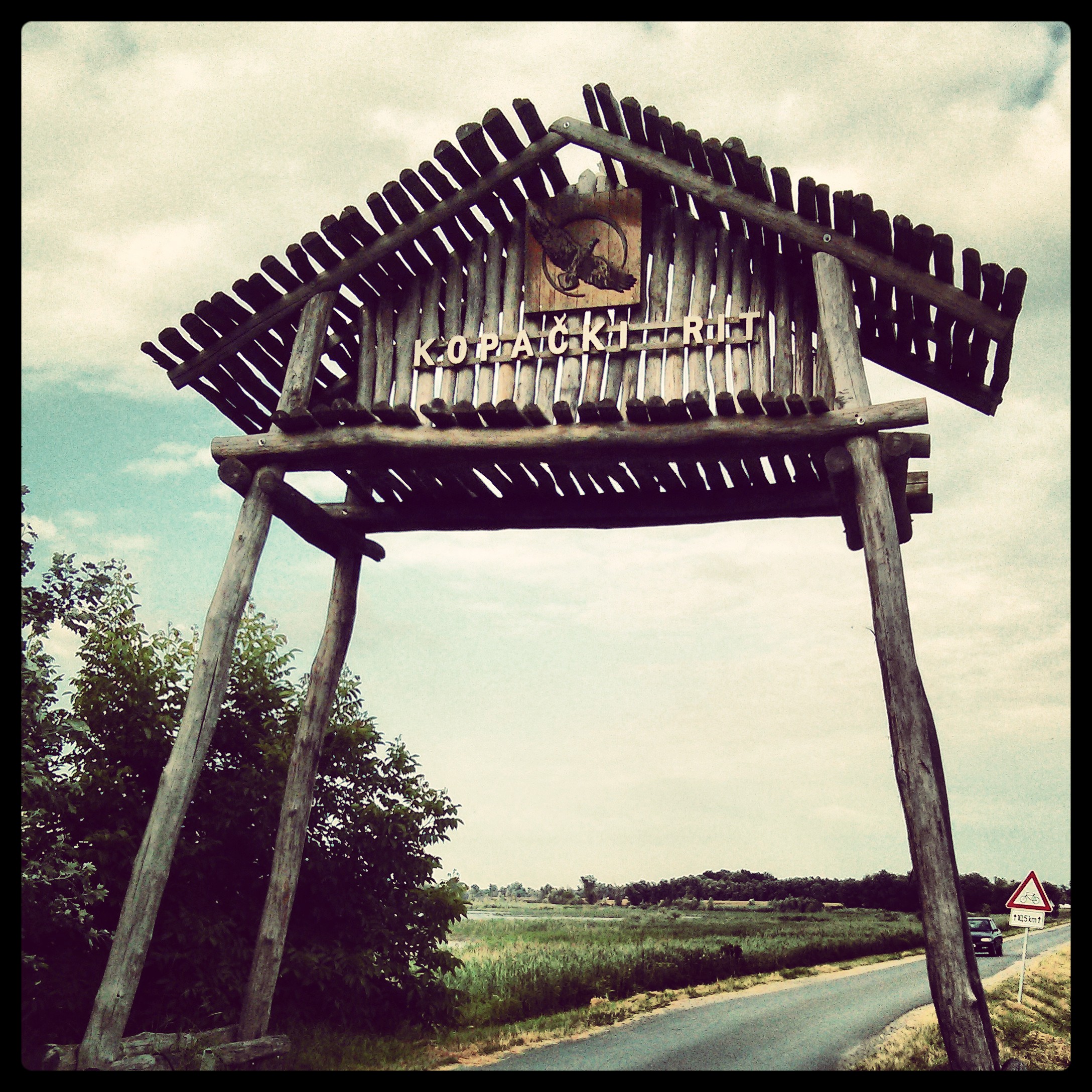
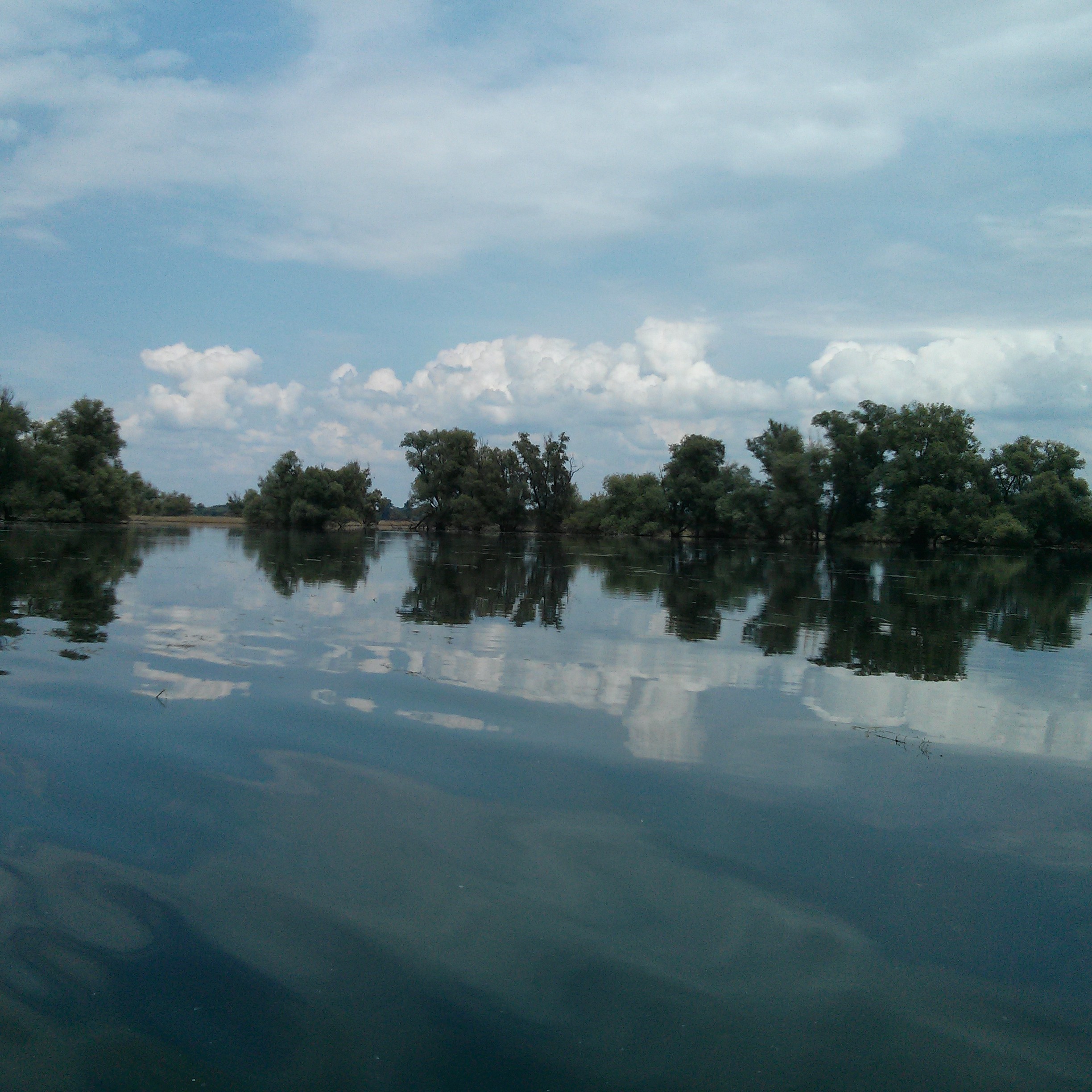
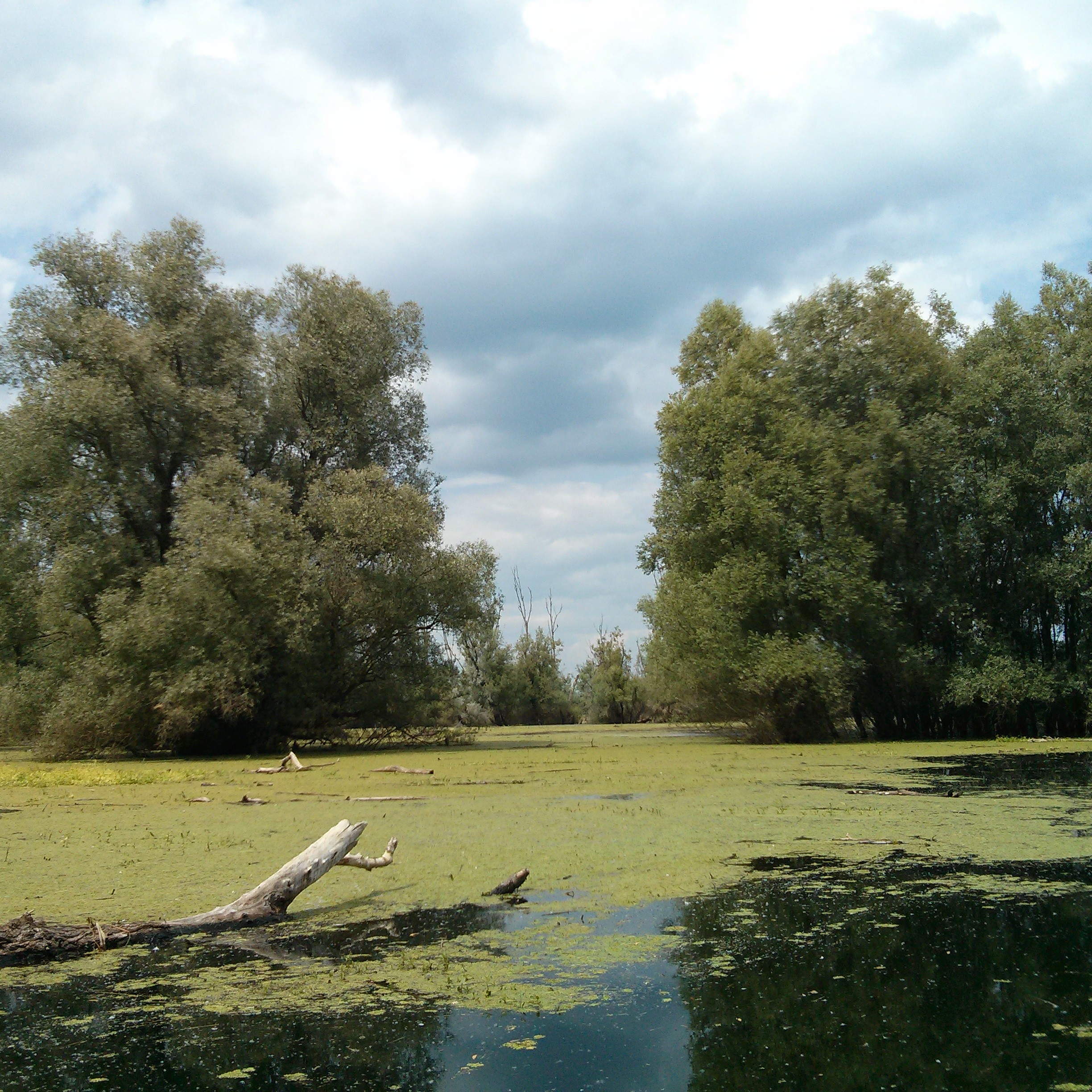
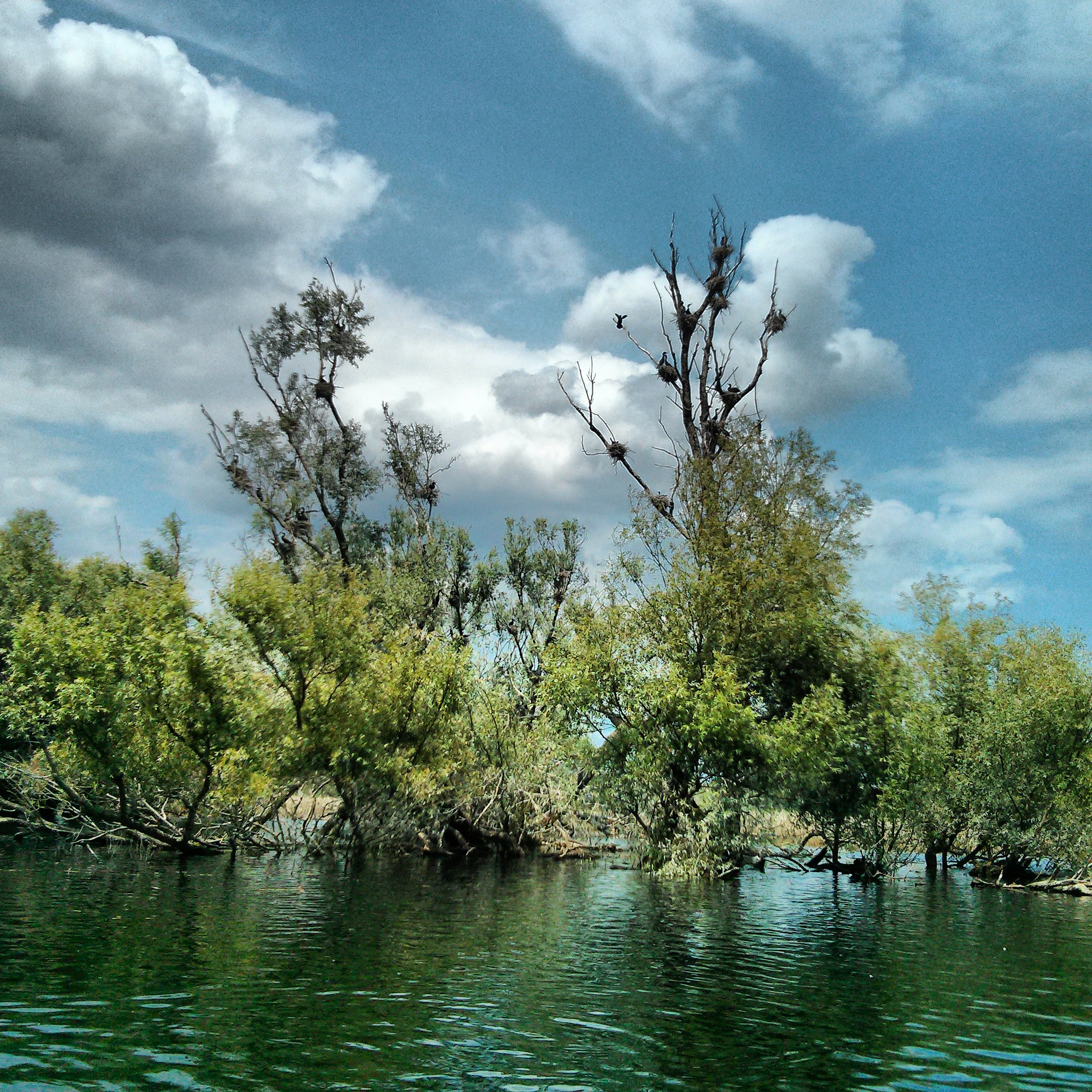
Kopački rit Nature Park is situated in the northeastern part of the Republic of Croatia, i.e. on the wider geographical area of eastern Croatia. Geographically speaking, Kopački rit is the flat part of Baranja, belonging to Osječko-baranja County, mainly lowland situated between the Drava and Danube rivers. It stretches from the northern part of the Drava where the mouth of the Drava flows into the Danube and upstream on the left and right banks of the Danube towards the former Kazuk port. Kopački rit is a floodplain that developed due to the activities of two large rivers, the Danube and the Drava. Kopački rit has a typical relief structure because of the river’s water activity and the floodwaters that flood the area. Rivers create banks and islands called “ade” and armbands called ‘dunavac’ or ‘old Drava’ in their live streams. On the other hand, the water in the floodplain deposits sediments in one place but deepens the ground in another, so the whole area obtains a specific undulate appearance. That is how ponds (depressions) and beams (higher grounds) were created and stretch hundreds of meters next to one another. Ponds and beams are narrow and long and have a specific curved appearance from the sky.
The entire floodplain obtains a delta kind of look and is extremely exceptional because the Danube creates a so-called “inland delta” in its middle stream with the assistance of the Drava. A phenomenon like this is not notable for other European rivers in this form and therewith gives this area a global significance.
more: http://www.kopacki-rit.com/about.html