
via pinterest
via pinterest
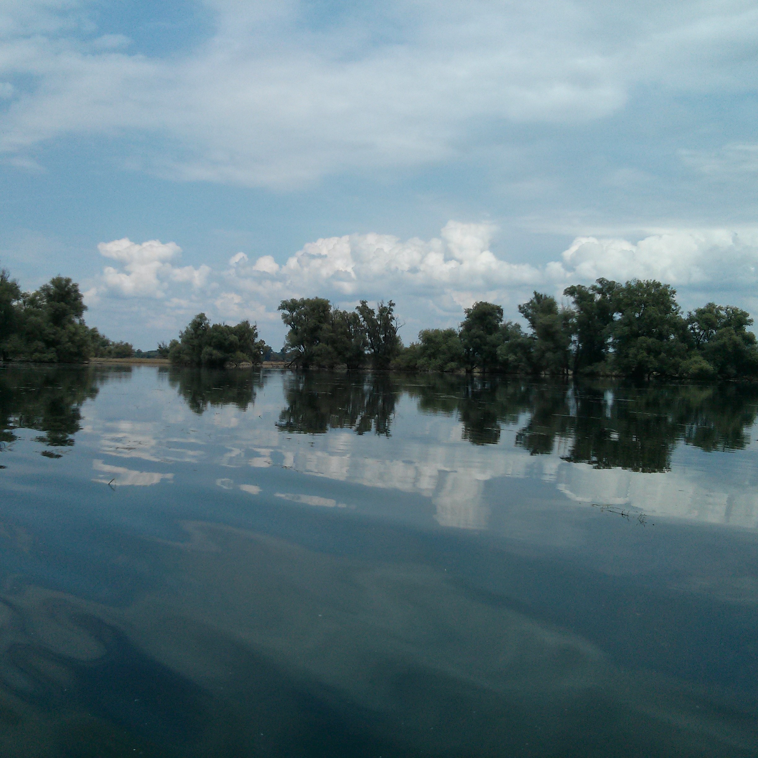
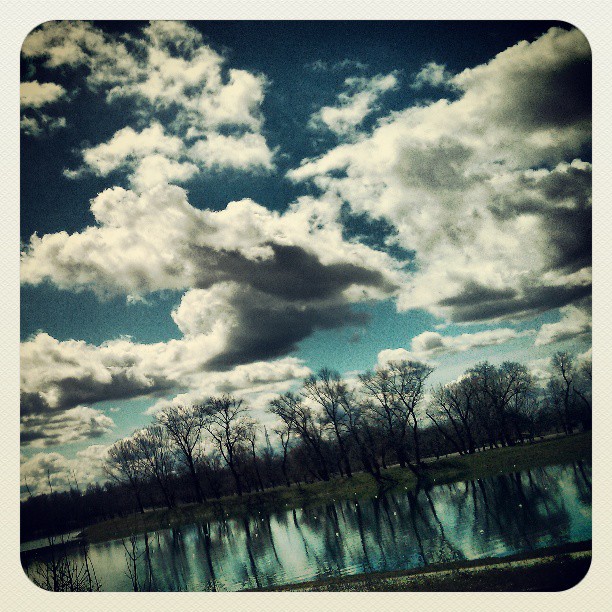
Kopački rit Nature Park is situated in the northeastern part of the Republic of Croatia, i.e. on the wider geographical area of eastern Croatia. Geographically speaking, Kopački rit is the flat part of Baranja, belonging to Osječko-baranja County, mainly lowland situated between the Drava and Danube rivers. It stretches from the northern part of the Drava where the mouth of the Drava flows into the Danube and upstream on the left and right banks of the Danube towards the former Kazuk port. Kopački rit is a floodplain that developed due to the activities of two large rivers, the Danube and the Drava. Kopački rit has a typical relief structure because of the river’s water activity and the floodwaters that flood the area. Rivers create banks and islands called “ade” and armbands called ‘dunavac’ or ‘old Drava’ in their live streams. On the other hand, the water in the floodplain deposits sediments in one place but deepens the ground in another, so the whole area obtains a specific undulate appearance. That is how ponds (depressions) and beams (higher grounds) were created and stretch hundreds of meters next to one another. Ponds and beams are narrow and long and have a specific curved appearance from the sky.
The entire floodplain obtains a delta kind of look and is extremely exceptional because the Danube creates a so-called “inland delta” in its middle stream with the assistance of the Drava. A phenomenon like this is not notable for other European rivers in this form and therewith gives this area a global significance.
more: http://www.kopacki-rit.com/about.html


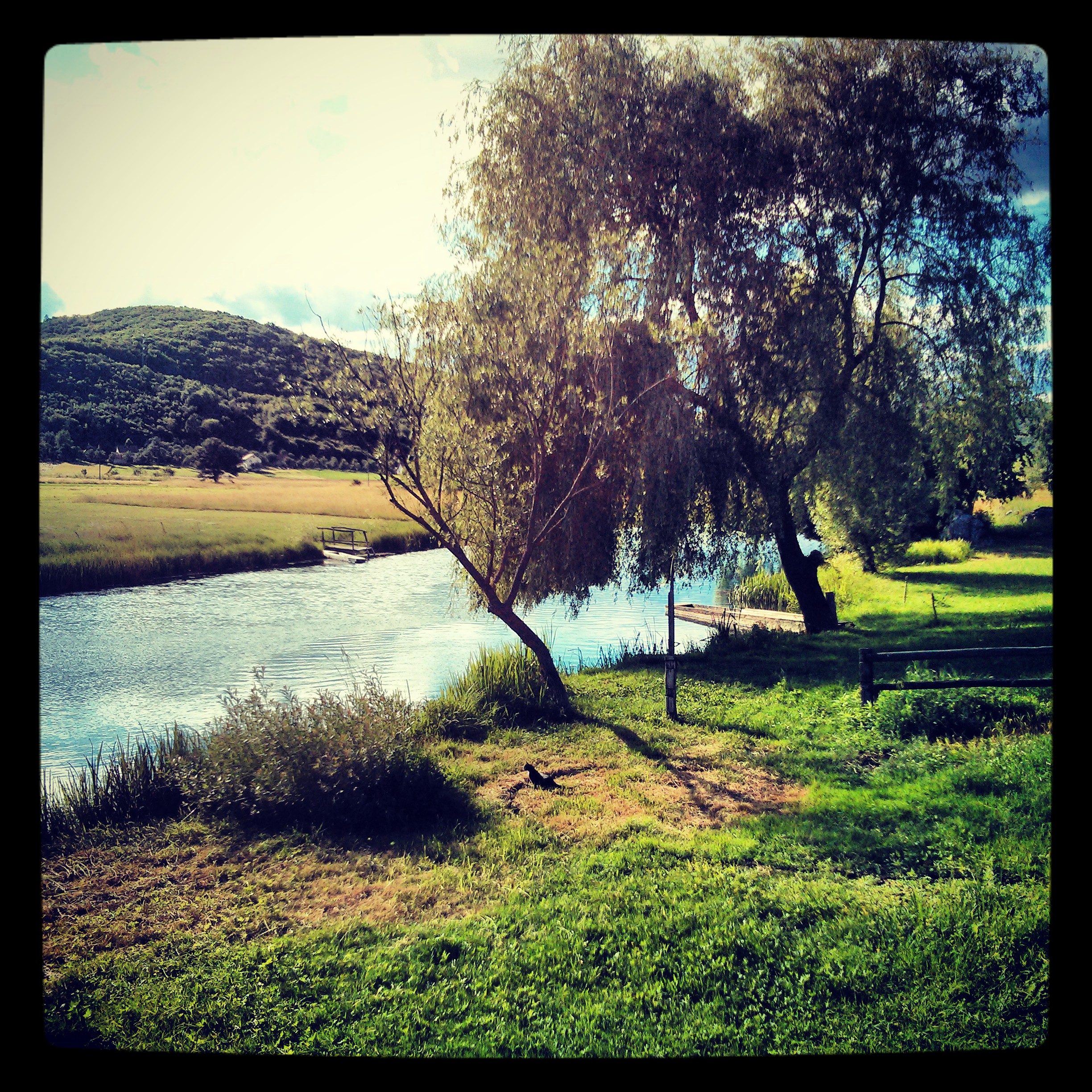
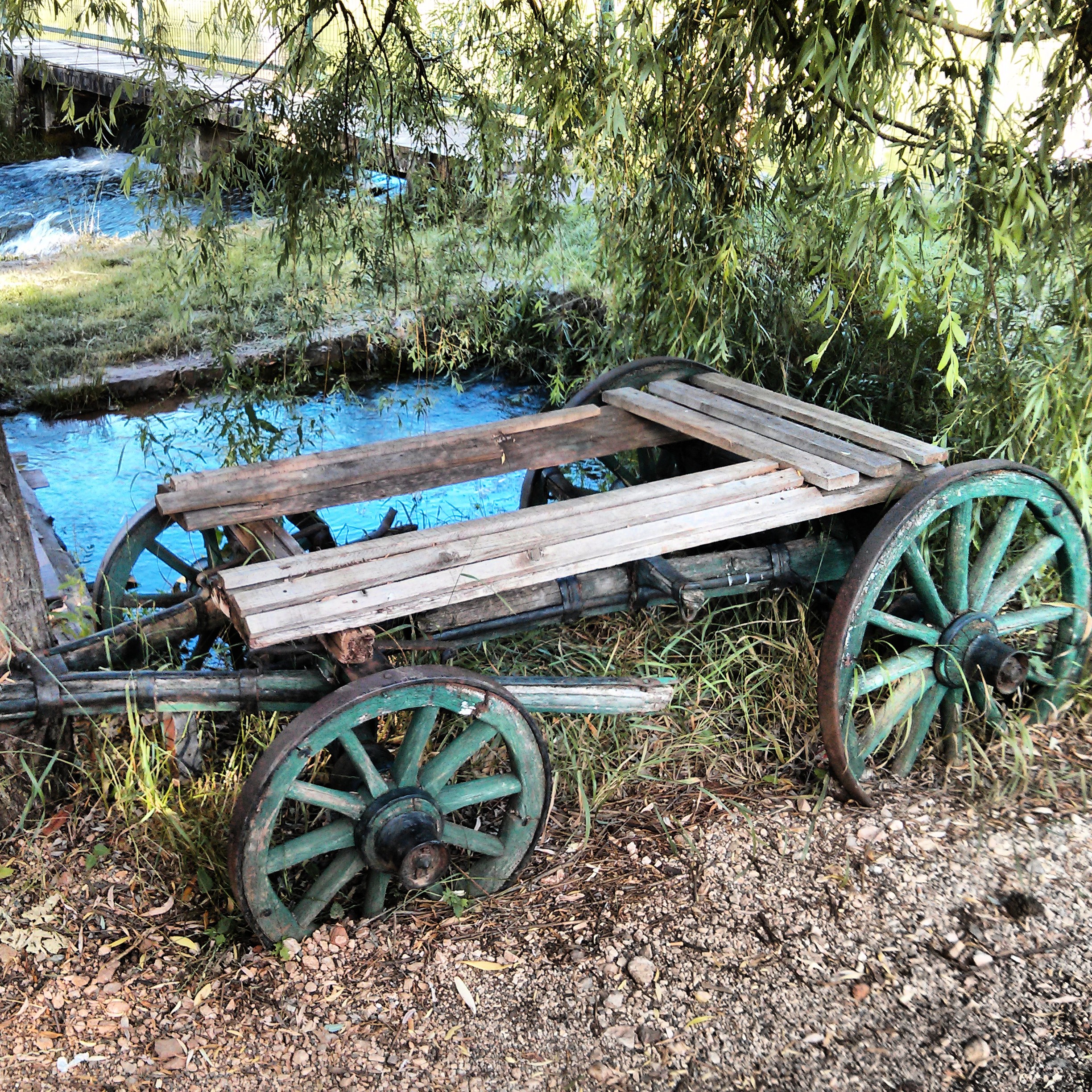
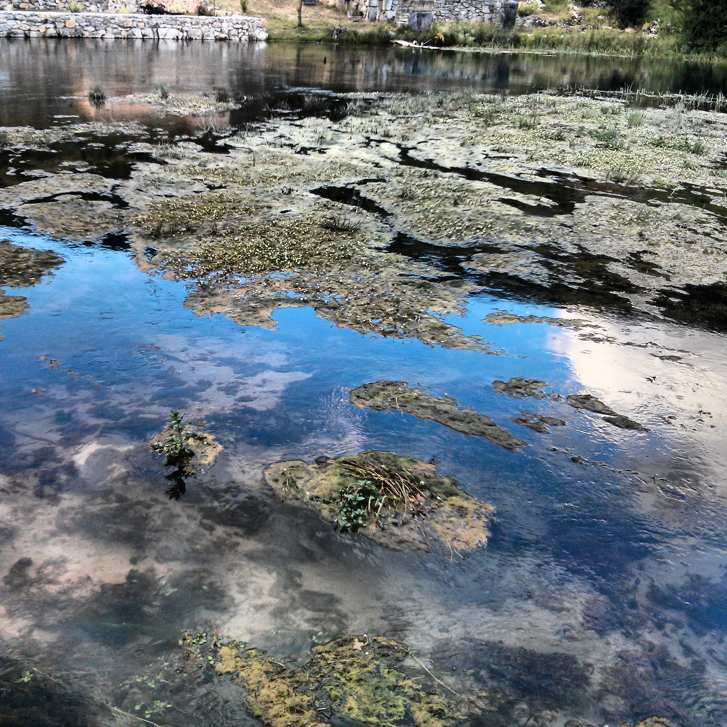
Gacka is a river located in the Lika region in central Croatia. Because for a large part of its course it is a subterranean river, estimates on its length vary. The river passes through karst fields and most notably the town Otočac, and its headwaters are known as a superb spot for trout fishing (wikipedia)
pics of two sources of Gacka River


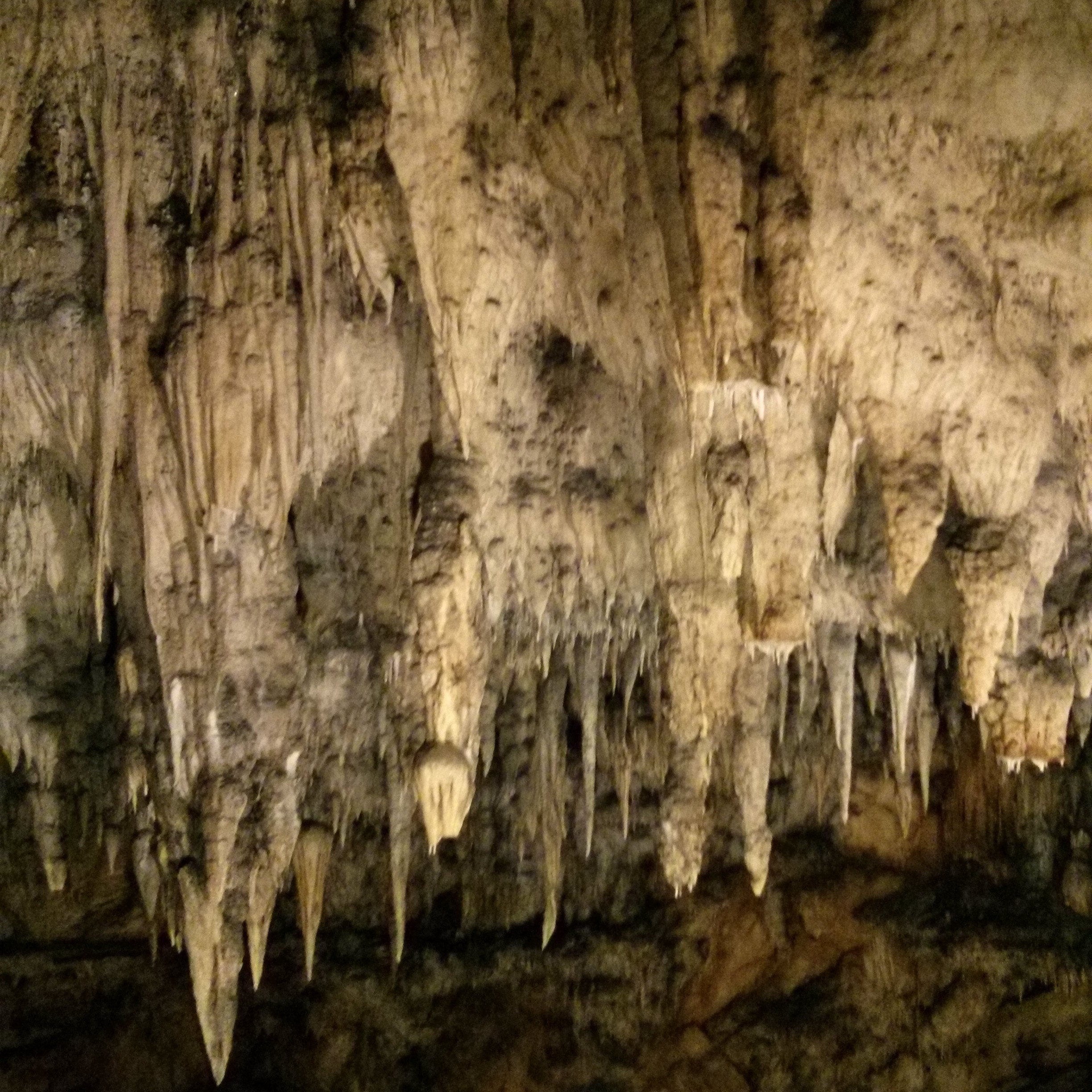
The Caves of Barać (Croatian: Baraćeve špilje)
are located near the village of Nova Kršlja in the municipality of Rakovica, Croatia. In 1892 the caves were opened to visitors but subsequently abandoned and forgotten following World War II. In July 2004 the Upper Caves of Barać were reopened to visitors.
The caves are named after a certain Barać who was a fighter against the Ottomans. According to a legend the caves bear the name of the victory of Barać at the caves. (wikipedia)
more about caves
http://www.baraceve-spilje.hr/spilje_eng.html
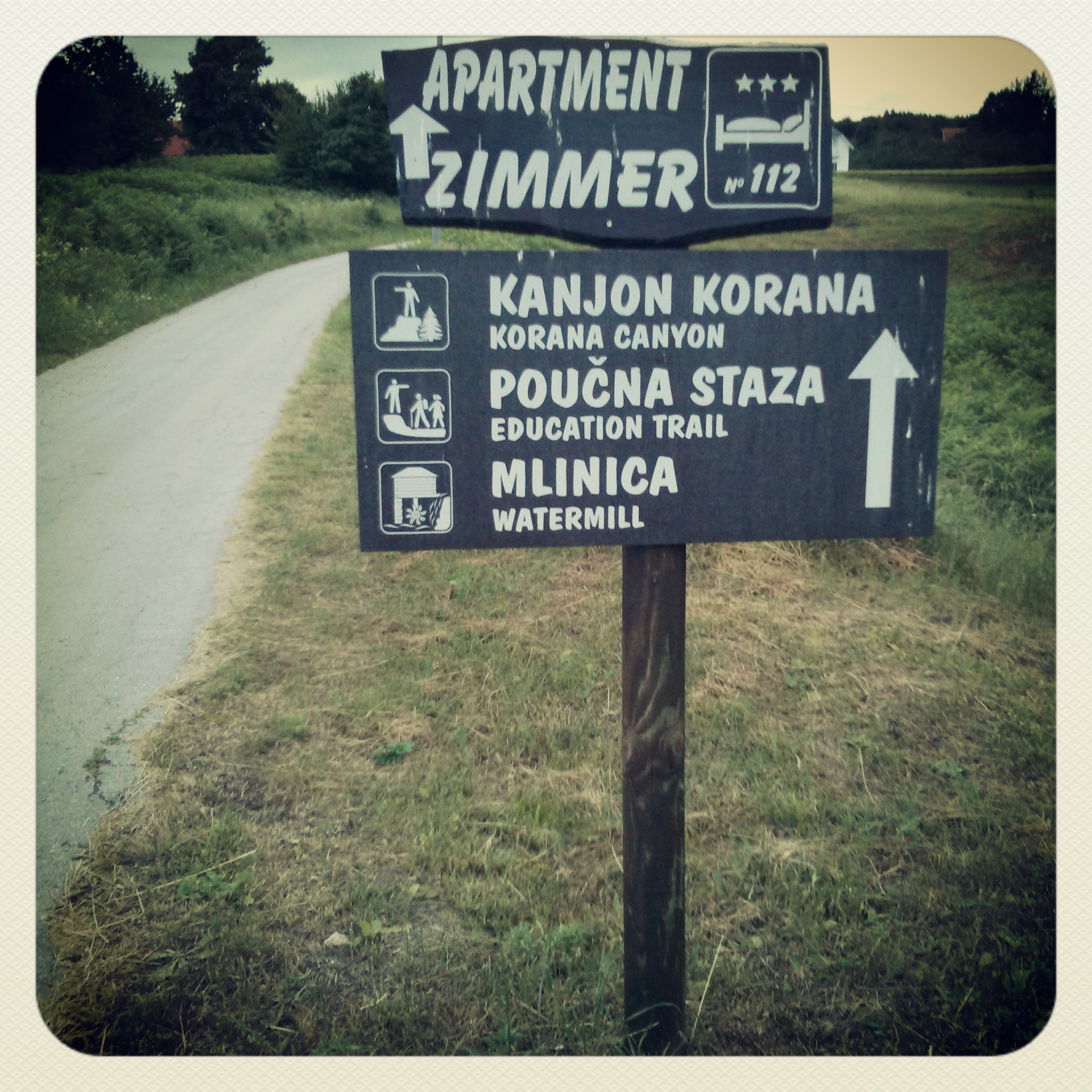
Drežnik stari grad (Old Town Drežnik)
This area used to be the seat of the one-time County of Drežnik which was first mentioned in the 11th century.
more about Drežnik
http://rakovica-touristinfo.hr/en/atrakcije/stari-grad-dreznik


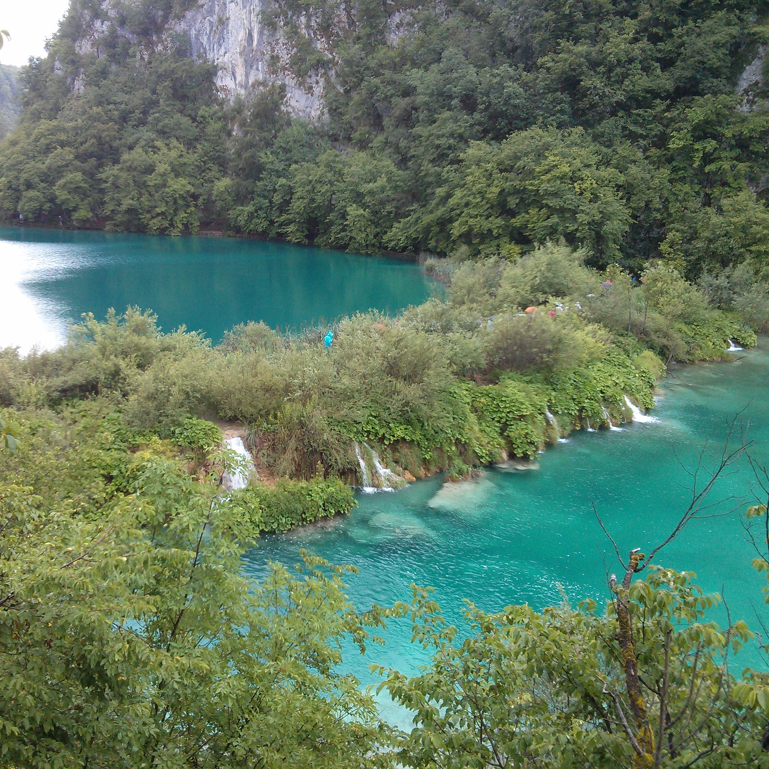
Croatia’s first National park.
The park was inscribed on the UNESCO’s World Heritage List in 1979, in recognition of its “outstanding natural beauty and undisturbed production of travertine (tufa) through chemical and biological action”. The park represents a phenomenon of karst hydrography.
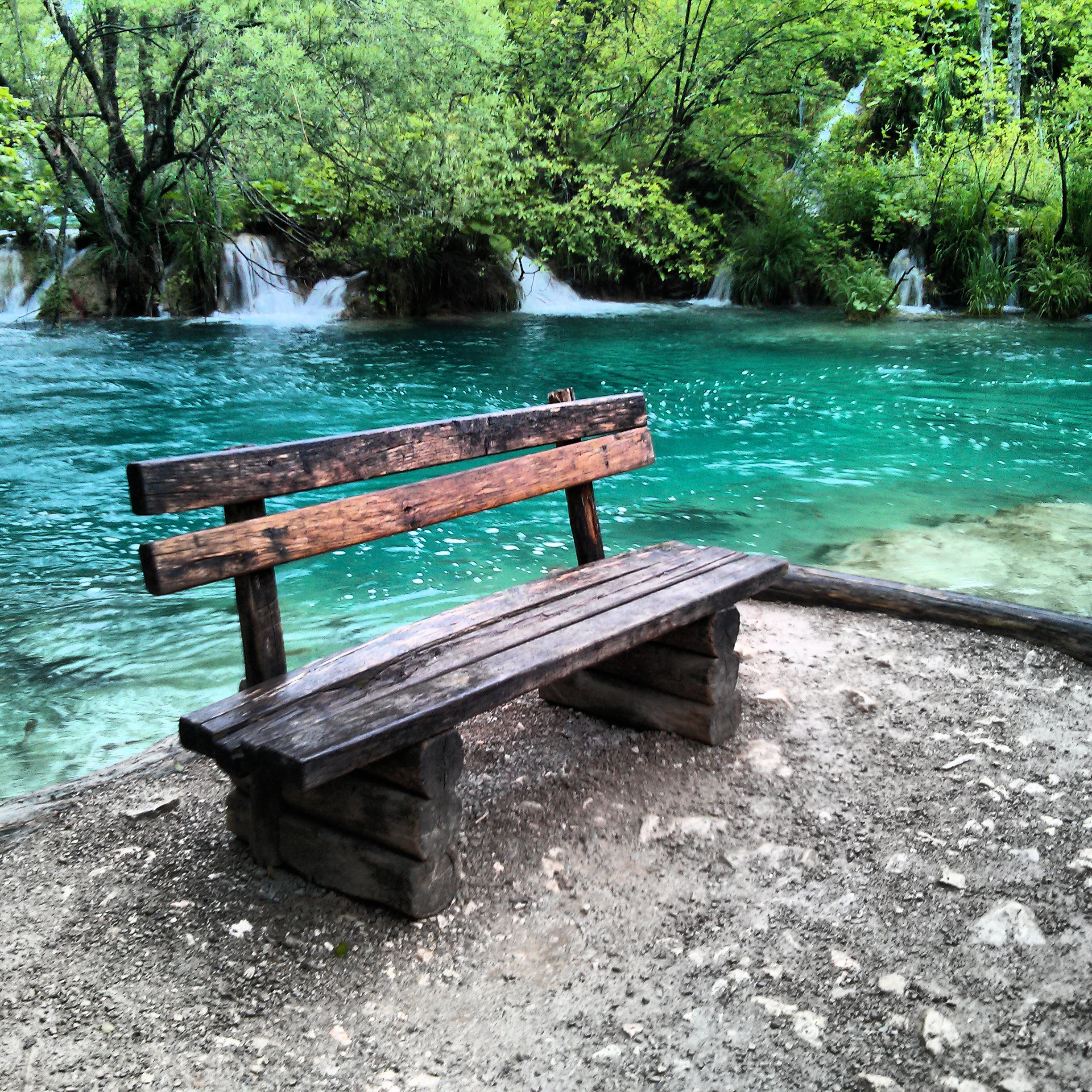
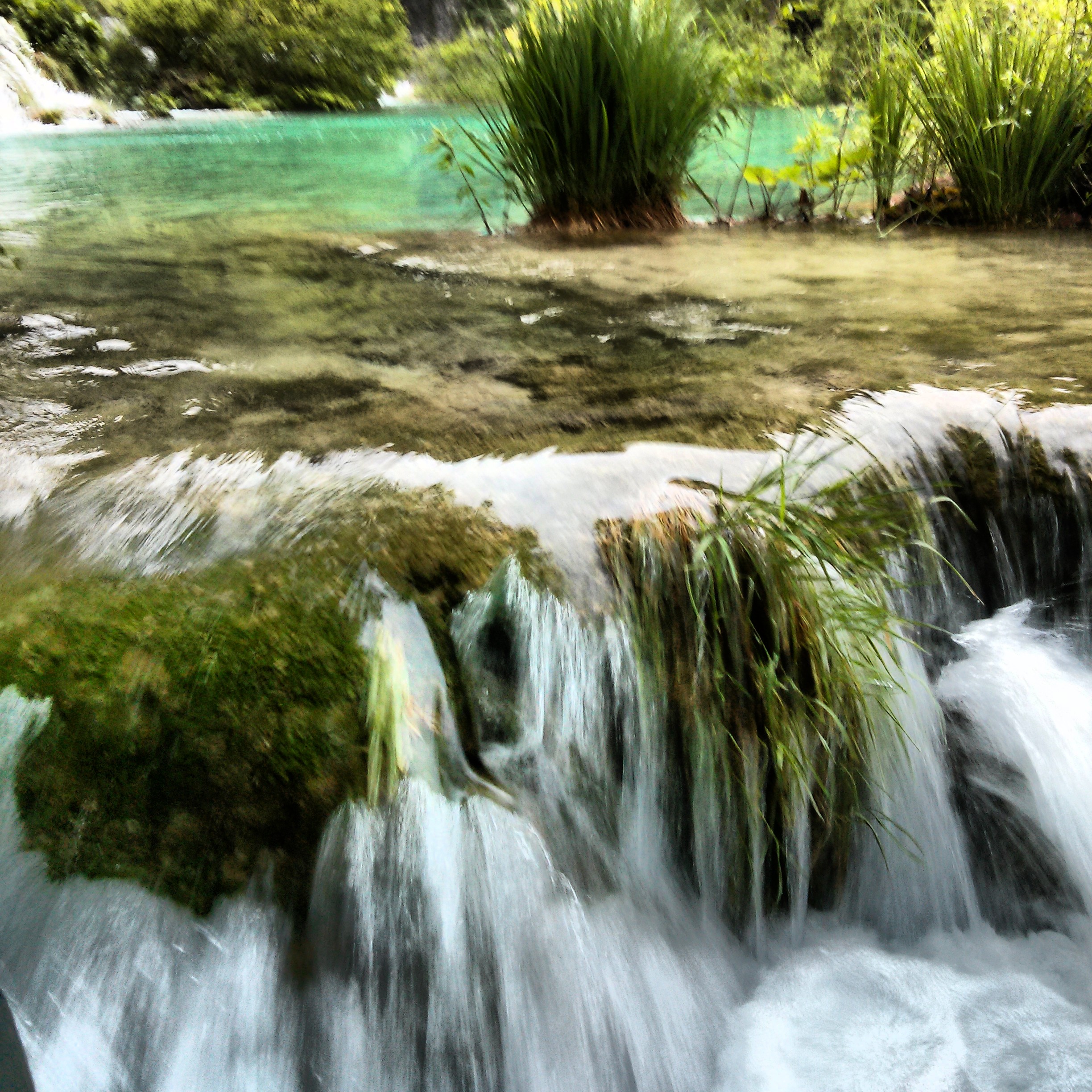
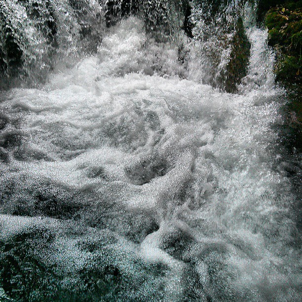
The park harbours a grand collection of waterfalls, gallery of lakes, forest and diversity of animal life. The lakes are renowned for their distinctive colors, ranging from azure to green, grey or blue. The colors change constantly depending on the quantity of minerals or organisms in the water and the angle of sunlight. The sixteen lakes which are formed by natural dams of travertine are separated into upper and lower lakes. About eight km of pathways and wooden walking trails around lakes are accessible to visitors. Trails are descending from an altitude of 636m to 503m above sea level.


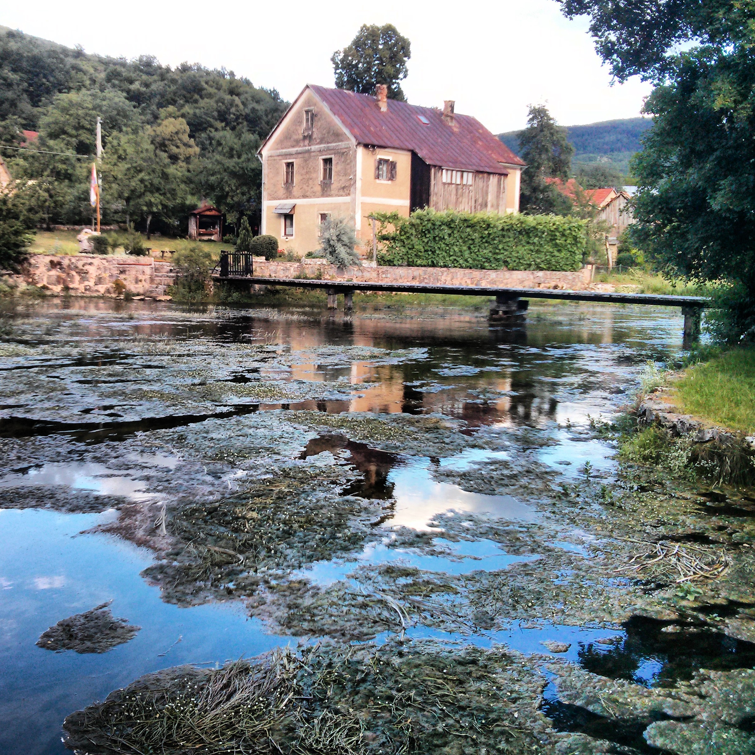
Grow was made by the game of nature at the place where the Slunjčica River flows into the river of Korana. The nature had played with turquoise waters of the river Slunjčica and divided them into a myriad of sputtering waterfalls of which the most beautiful ones are Buk, Hrvoje and Vilina kosa. By its founding Rastoke is actually the first introduction to the Plitvice lakes. Unlike these lakes Rastoke is special by intertwined human settlement with spoon-like water- mills (mlinica žličara) in this exuberance of green vegetation on inlets and cliffs made three hundred years ago.
“We are going to the waterfalls. I cannot describe the suavity of these scenes, -flaring in the moonlight. Come over, traveller, and see! ” – Adolf Veber Tkalčević, a philologist and a travel book writer, 1860.
(via )


homedit on fb

via pinterest


inspirationlane.tumblr.com

homingscrapblog.tumblr.com

myscandinavianhome.blogspot.com.au

homingscrapblog.tumblr.com

homingscrapblog.tumblr.com

inspirationlane.tumblr.com

inspirationlane.tumblr.com


